
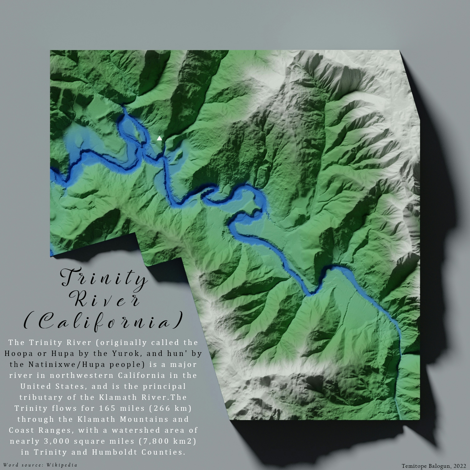
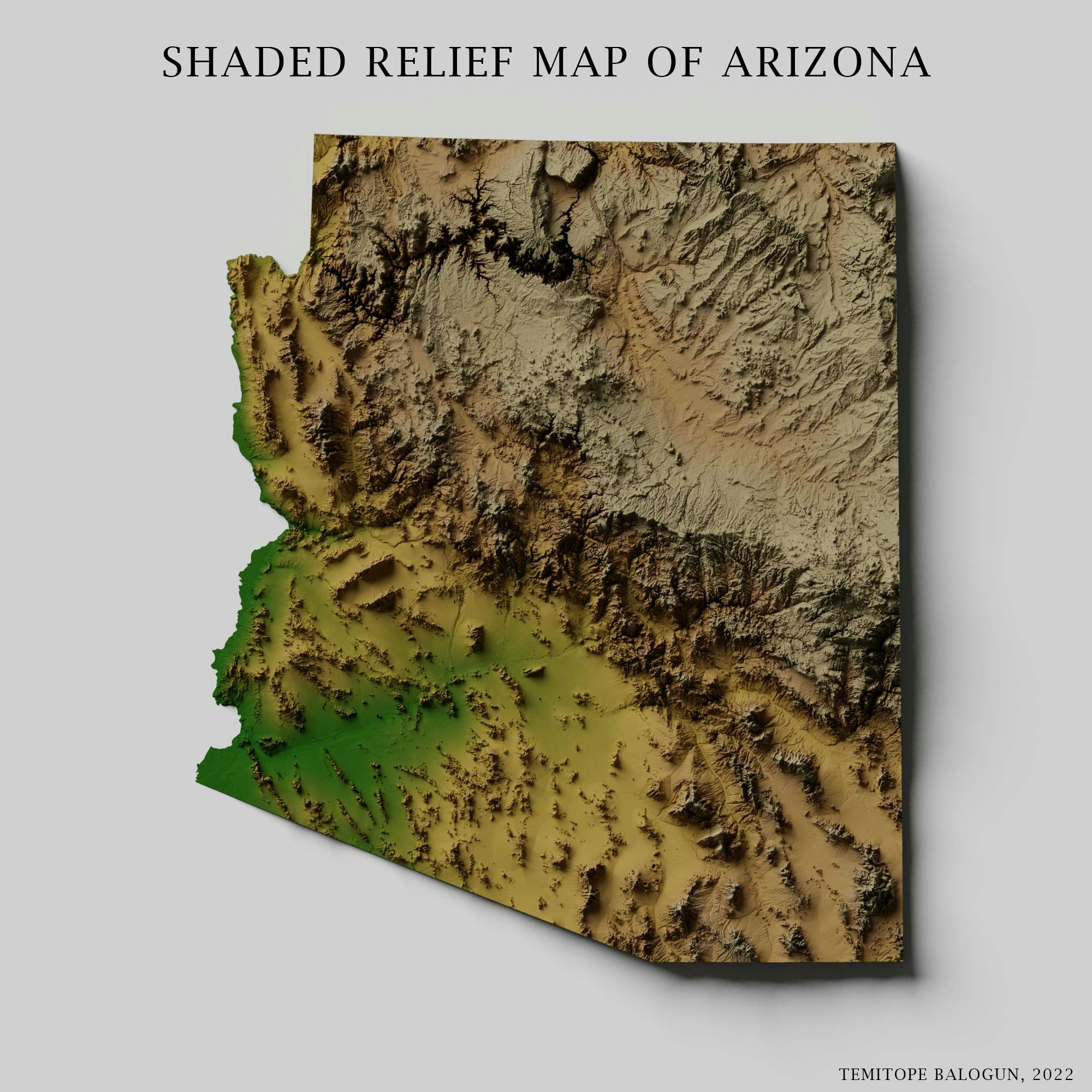
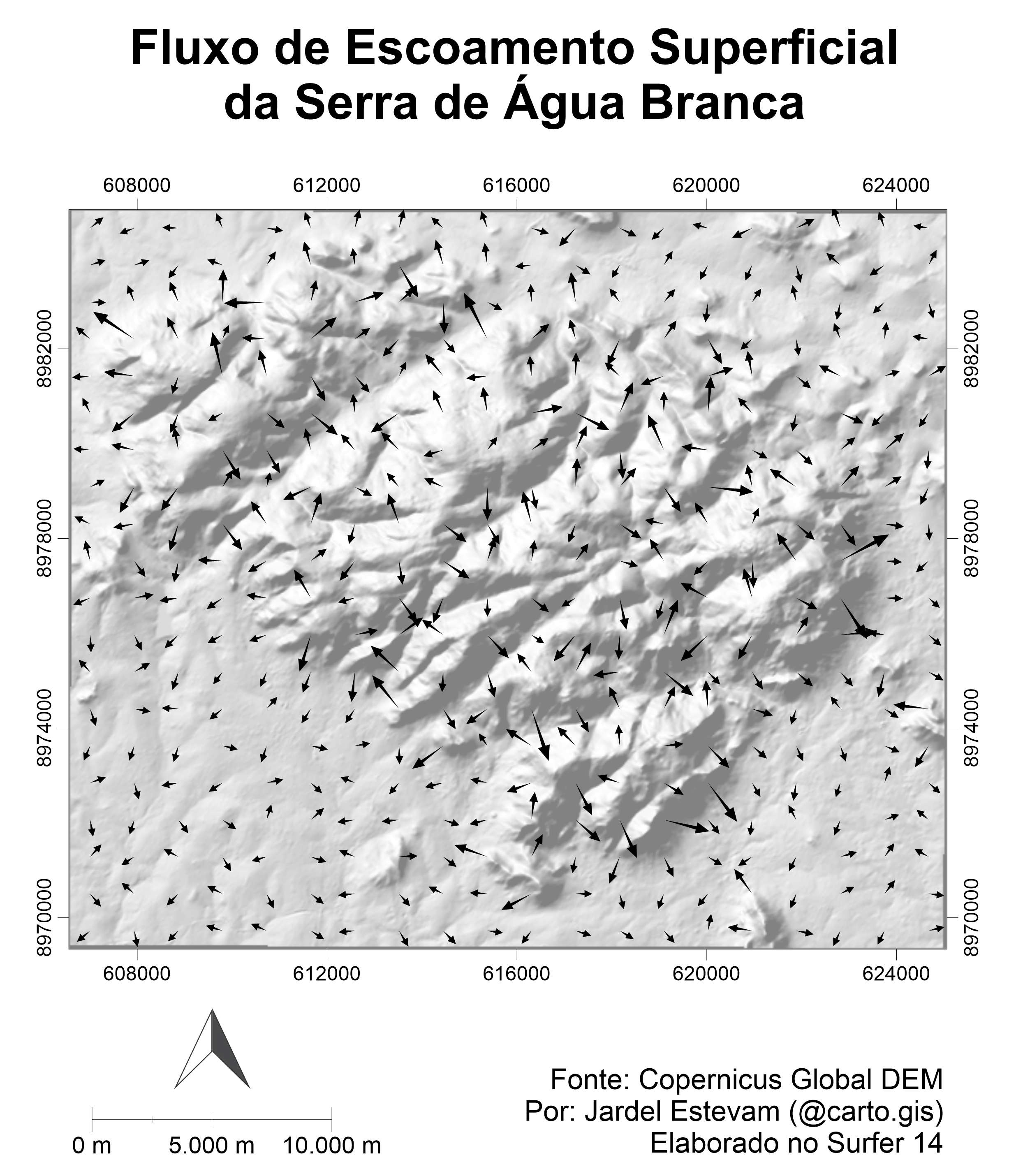
This map of the relief of Trinity River and its environ. The Trinity flows through the Klamath Mountaina and Coast Ranges.
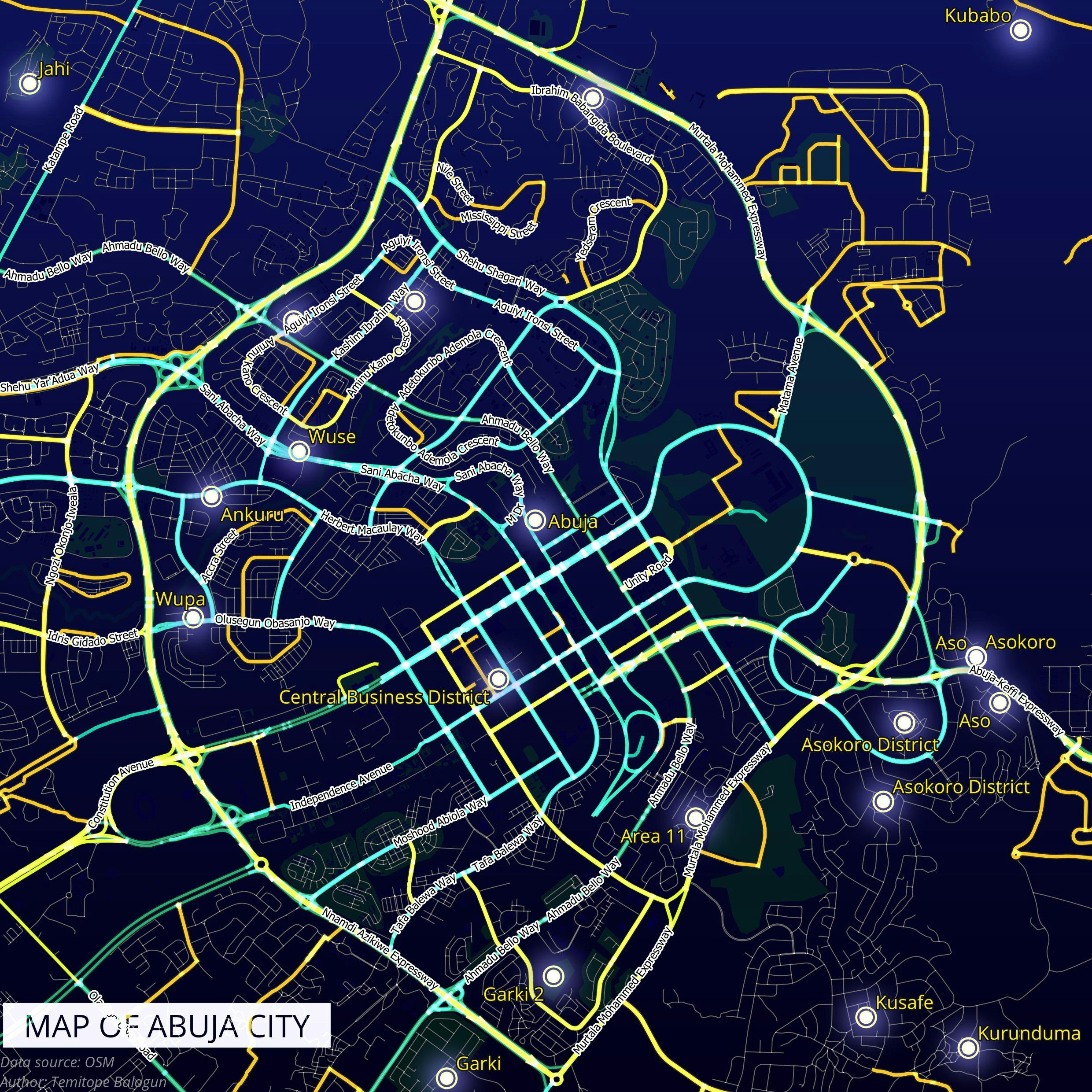
Shaded relief map of Trinity River
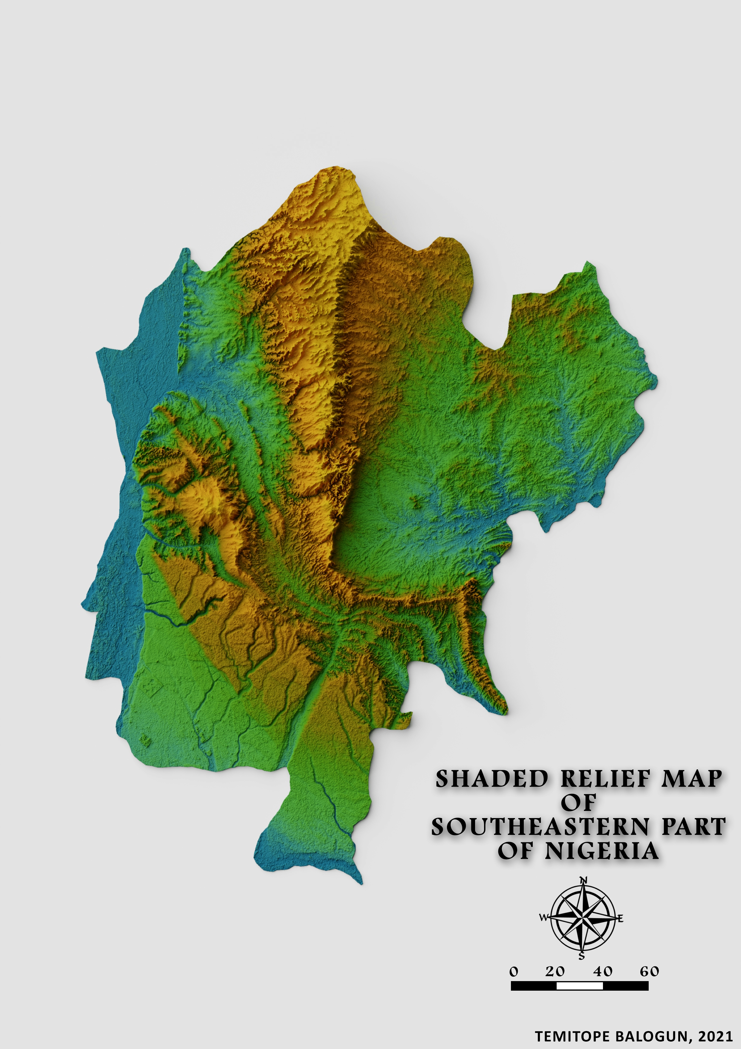
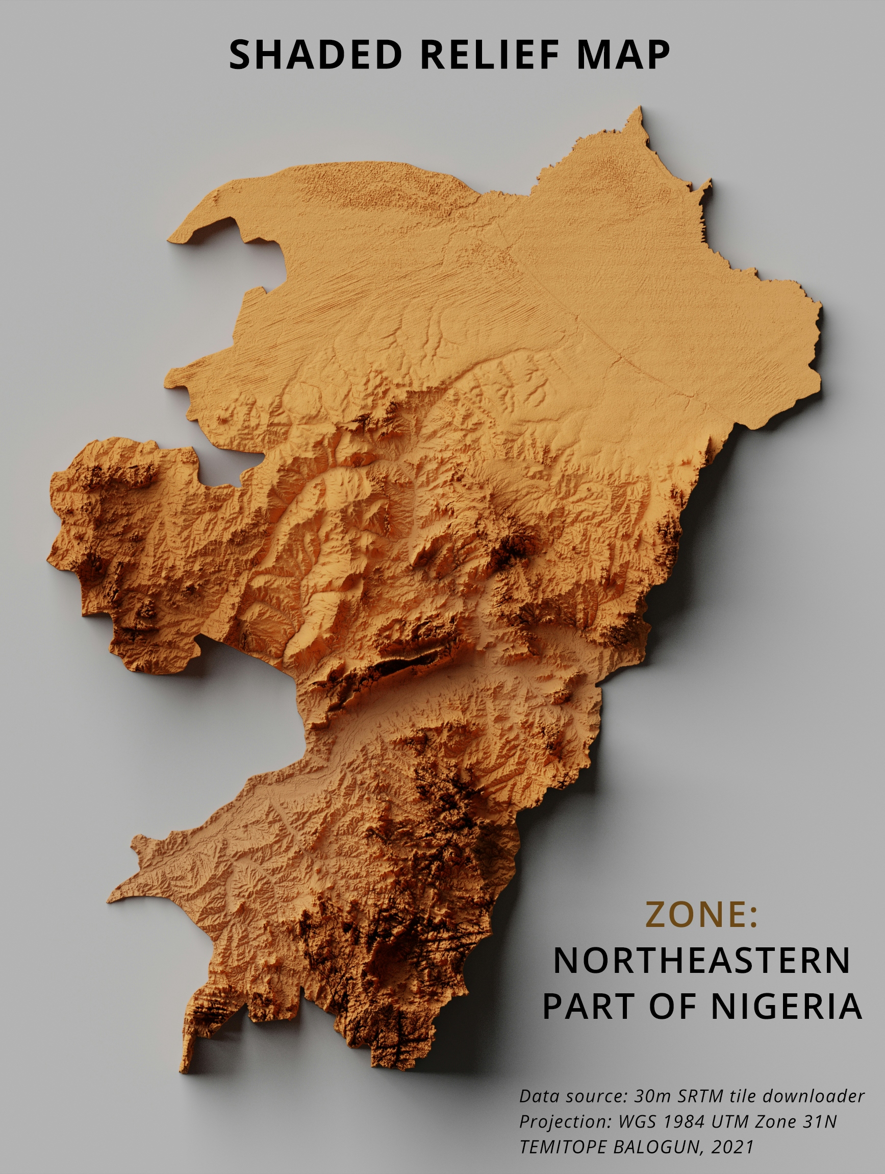
Tools used
ArcMapBlender
Plug-ins used
Spatial analyst
tags
ArcMapBlenderData Visualization
More by Balogun Temitope

You might also like


.svg "Keran Nkongolo")

Join the community!
We're a place where geospatial professionals showcase their works and discover opportunities.