
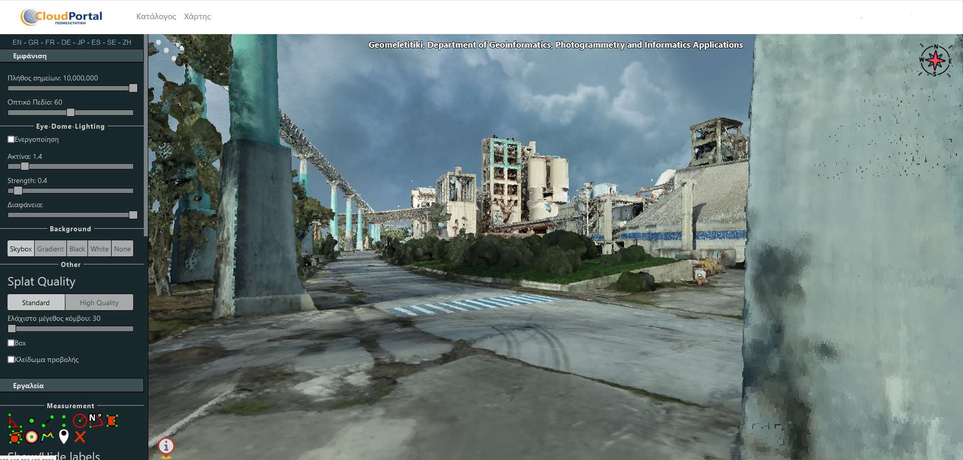
A currenty in-development project for the engineering firm I am employed in. It is based on PotreeJS (huge shoutout to Michael Wimmer, Claus Scheiblauer and the whole 42 contributors!) and provides a simple web portal where customers can view their point clouds and their position in a map (LeafletJS), and take full advantage of the analytical capabilities of Potree
PointCloud Web Platform
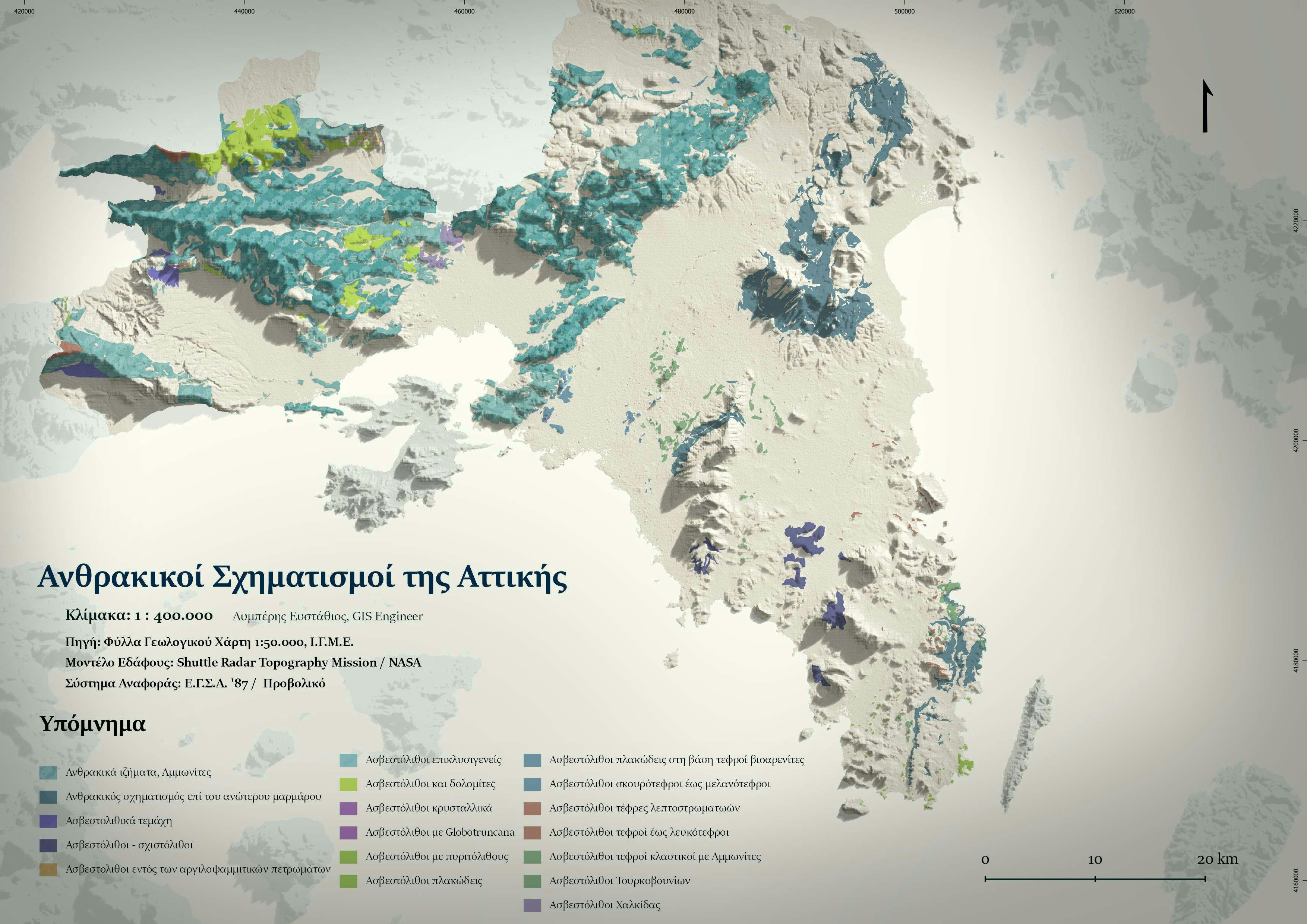
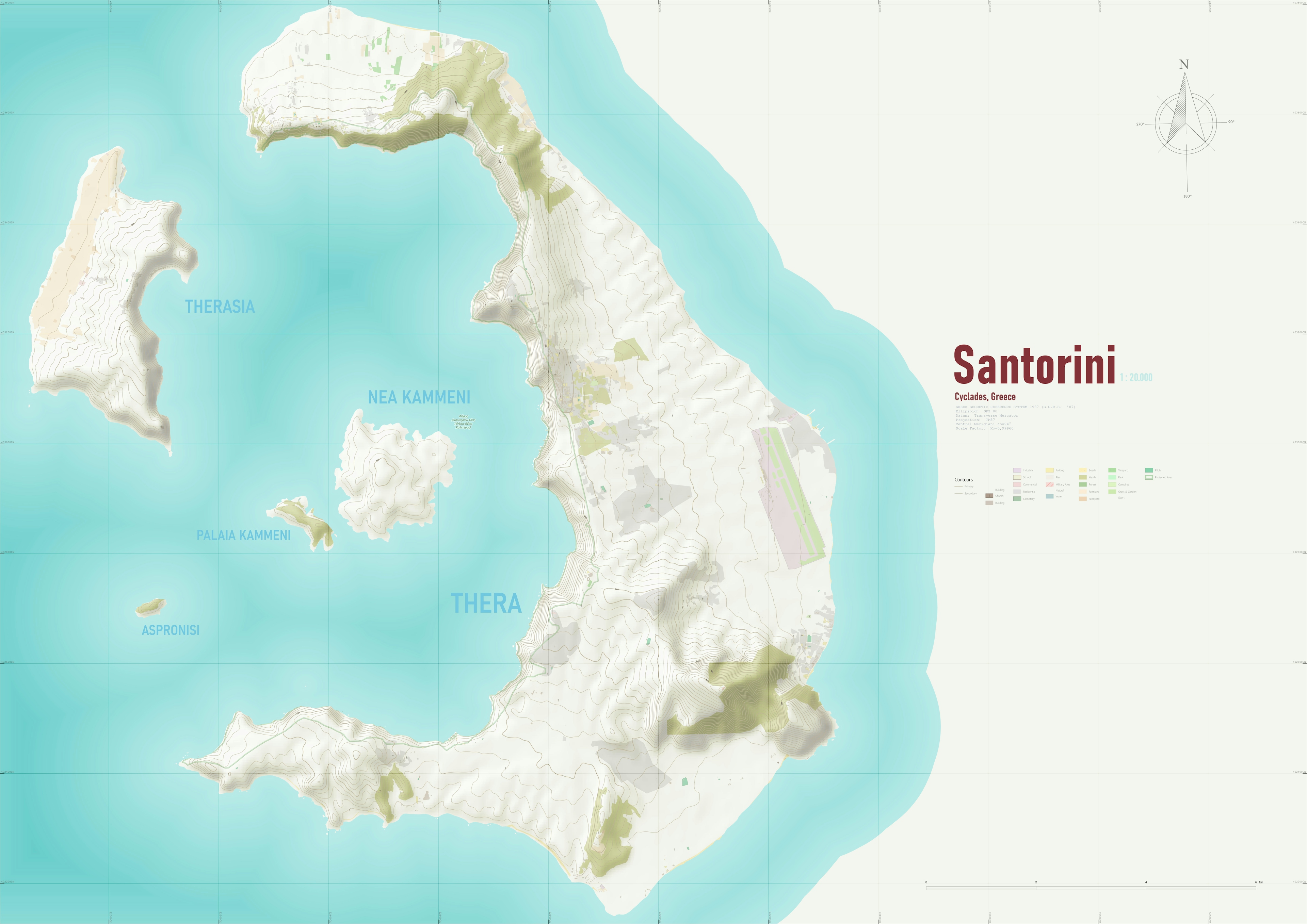
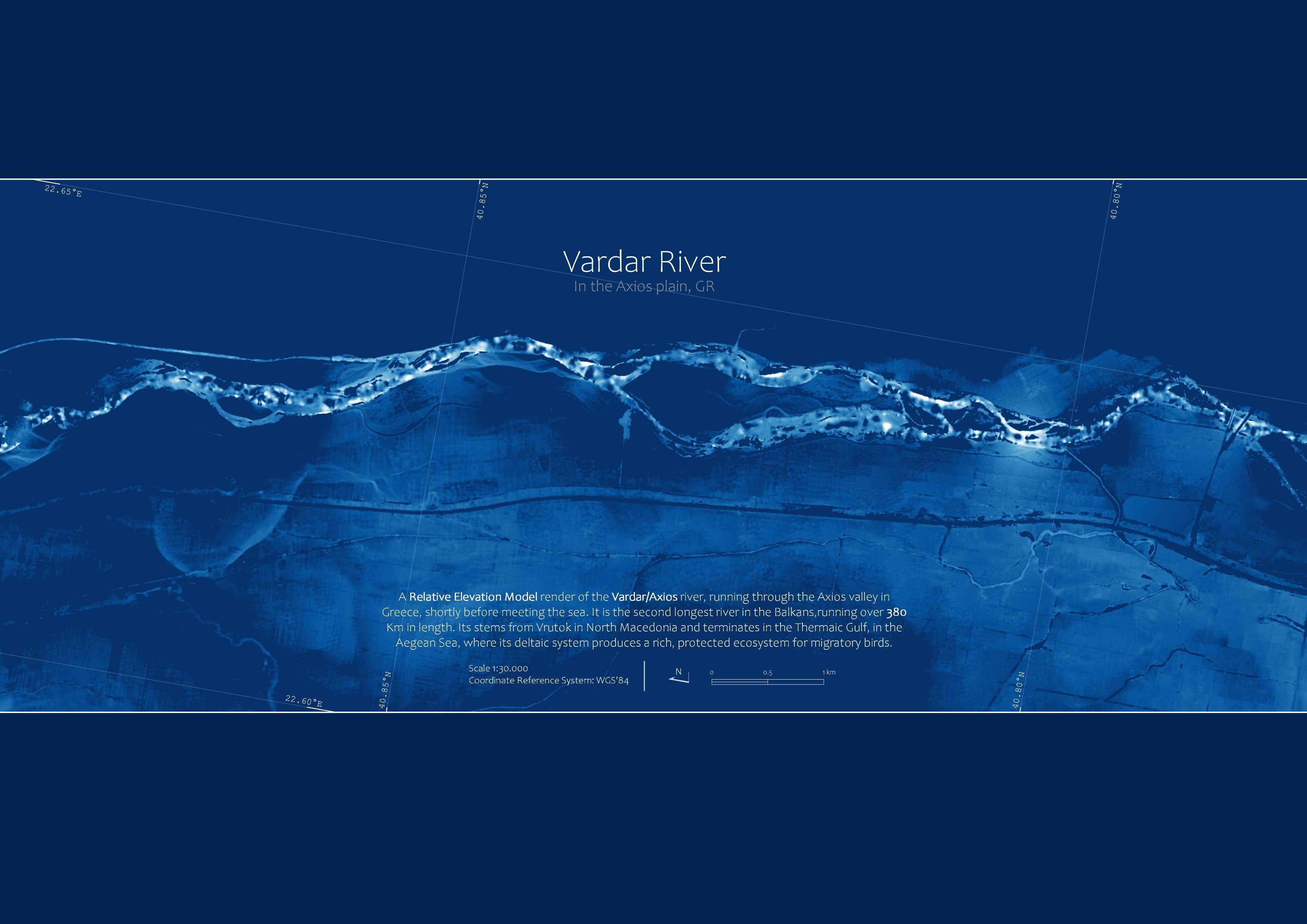
Tools used
BlenderGIMPQGIS
Plug-ins used
GeodjangoLeafletJSPostGIS
tags
3DJavascriptPoint CloudWeb Mapping
More by Efstathios Lymperis

You might also like


.png&w=3840&q=100)
Join the community!
We're a place where geospatial professionals showcase their works and discover opportunities.