Using a multiscale map that I already created and applied generalization principles to, I created vector tiles to use as a reference layer for other content. Vector tiles can overcome some of the limitations of image tiles such as storage size, problems with embedded labels/symbols, and fixed resolutions.
My workflow is described below:
- Select the desired layer to share > Share tab > Web Layer down arrow > Publish Web Layer
- Set parameters
- Ensure that Vector Tile is checked under Layer Type.
- Under the Configuration tab, cache locally
- Set scale range to area of study
- Ensure the Tiling Format is indexed.
- Analyze and Publish
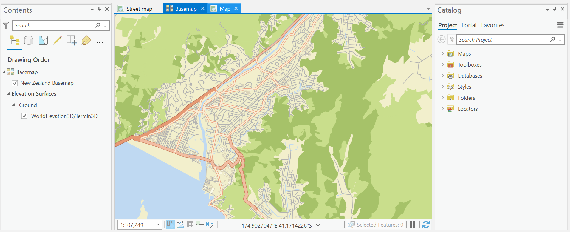
- Insert the newly created vector tile package (.vtpk) as a new basemap from your content in the online portal.
- Open a new map and choose the new custom basemap for further study.