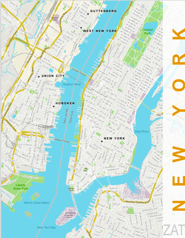
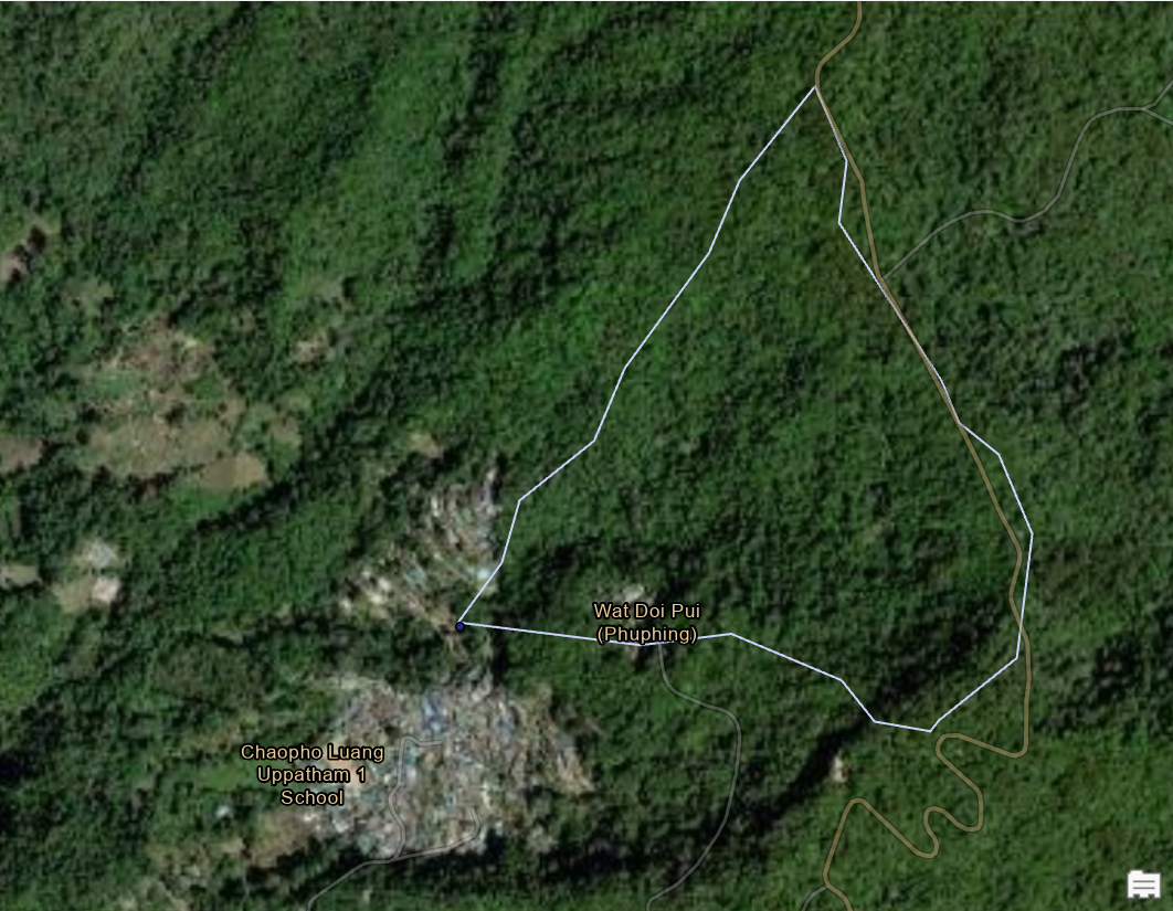
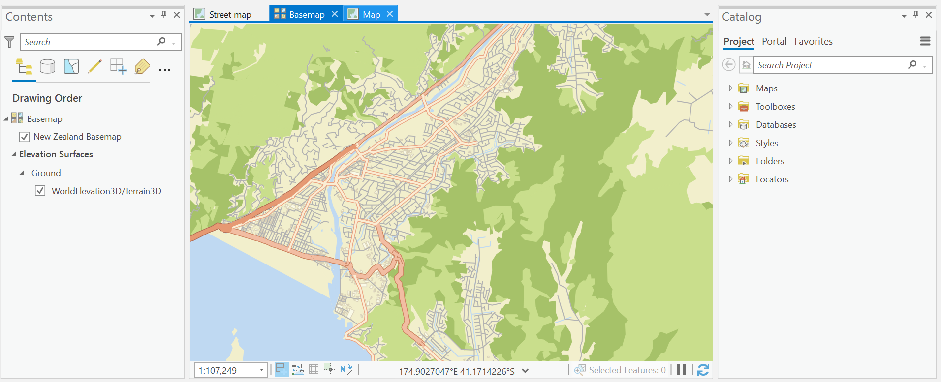
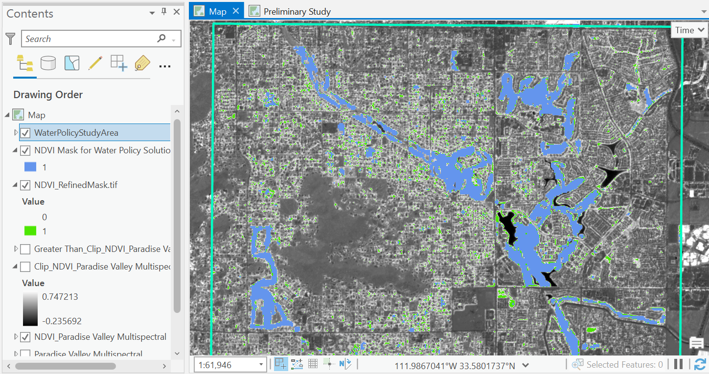
This street map project taught me advanced configuration for label class properties. This included how to add and refine labels to points, lines, and polygons. I also experimented with font style, size, and color to achieve visual hierarchy with these tools. Options for label appearance, placement, formatting, and sizing were also utilized.
Click the demo link below to take a closer look!
Additional skills used:
- Save symbols to a style
- SQL expressions to label a subset of features
- Feature weights to prioritize label ranking strategy


.svg "Keran Nkongolo")