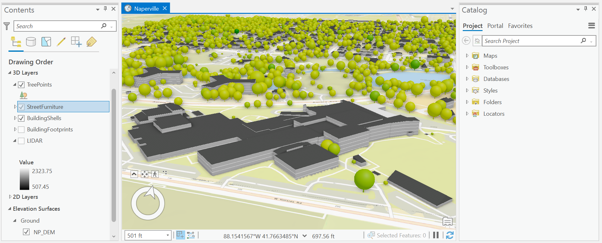
This project demonstrates numerous techniques for authoring 3D maps. These include extrusion to create 3D building shapes, procedurals symbols to incorporate more detail in the façade rendering, configuring tree layers, building a street furniture layer from points, and using feature attributes to inform symbology properties like rotation and size.
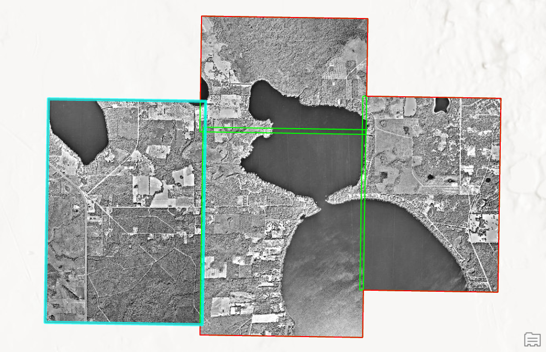
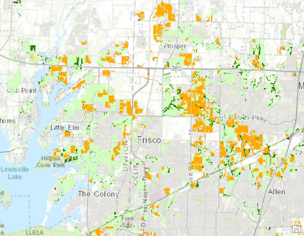
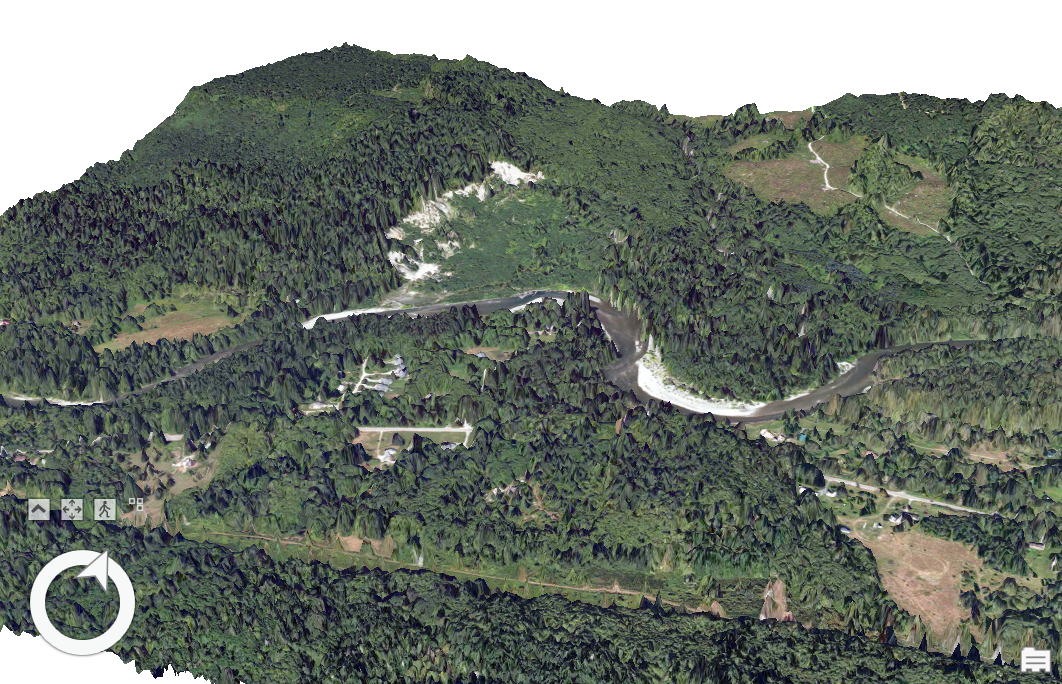
I improved a standard online global service elevation model by including a digital elevation model (DEM) to align with LiDAR points, draped thematic content over building footprints to represent polygon data on the ground, and used polygon attributes from LiDAR data to extrude 3D building shapes. The LiDAR points also helped me perform Quality Assurance as I regularly verified consistency between elevation points and my cartographic visualizations. Bookmarks were added around the around the scene to guide future users to points of interest.

.svg "Keran Nkongolo")