Title: Spatial Analysis of Kenya Household Data: A Comprehensive Report
Introduction:
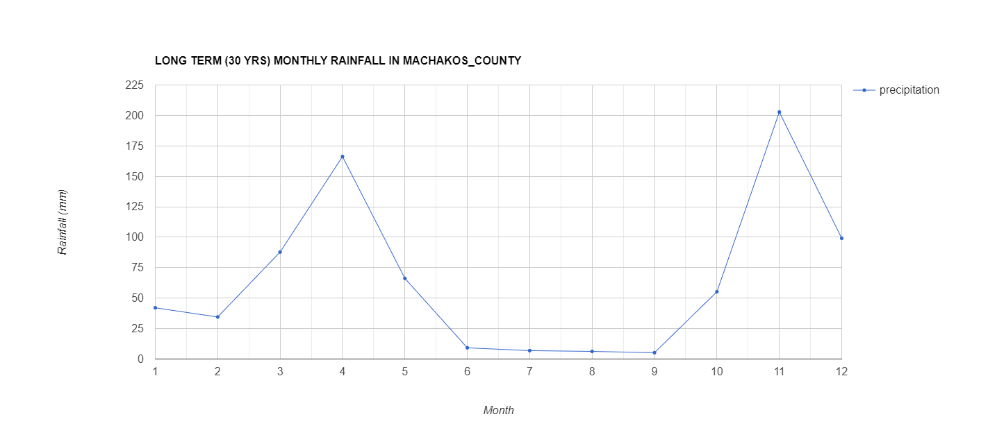
This project involved conducting a spatial analysis of household data for Kenya, aiming to provide valuable insights into the geographic distribution and characteristics of households across the country. Leveraging datasets specific to Kenya, this initiative sought to contribute to a deeper understanding of the demographic landscape and support informed decision-making.
Project Objectives:
Data Acquisition and Cleaning:
Acquired and integrated household data specific to Kenya, ensuring data accuracy and consistency through meticulous cleaning and preprocessing.
Geocoding:
Applied geocoding techniques to associate household data with precise geographic locations, allowing for the spatial representation of demographic information.
Spatial Analysis:
Employed spatial analysis tools to examine the distribution patterns of households, identify urban and rural clusters, and analyze spatial relationships within the data.
Demographic Profiling:
Conducted demographic profiling of households, including factors such as population density, age distribution, income levels, and access to basic services.
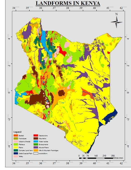
Thematic Mapping:
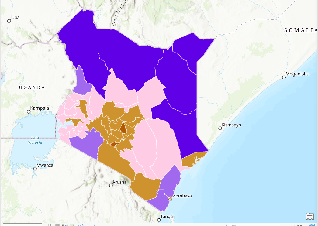
Generated thematic maps to visualize key demographic indicators, providing a spatial context for understanding the socioeconomic characteristics of different regions in Kenya.
Benefits of the Project:
Targeted Resource Allocation:
The spatial analysis of household data supports targeted resource allocation by identifying areas with specific demographic needs, facilitating the efficient deployment of public services and infrastructure.
Urban Planning and Development:
Provides critical information for urban planning and development initiatives, helping authorities understand population density trends and plan infrastructure projects to accommodate growth.
Healthcare Planning:
Facilitates healthcare planning by identifying areas with high healthcare needs, allowing for the strategic placement of medical facilities and resources.
Education Planning:
Supports education planning by revealing patterns of educational attainment and identifying areas with a need for increased educational infrastructure and resources.
Social and Economic Policy Formulation:
Informs social and economic policies by offering a comprehensive understanding of the socioeconomic landscape, aiding policymakers in the formulation of targeted interventions and development strategies.
Conclusion:
This spatial analysis of household data for Kenya contributes to a better understanding of the country's demographic dynamics, offering insights that are crucial for effective policymaking, resource allocation, and sustainable development. The project harnesses the power of spatial analysis to transform raw data into actionable information, providing a valuable resource for policymakers, researchers, and organizations invested in the welfare and development of Kenya's diverse communities.
https://gspace.maps.arcgis.com/home/item.html?id=bfd865c7c4c84e9cadb8a814620b7927