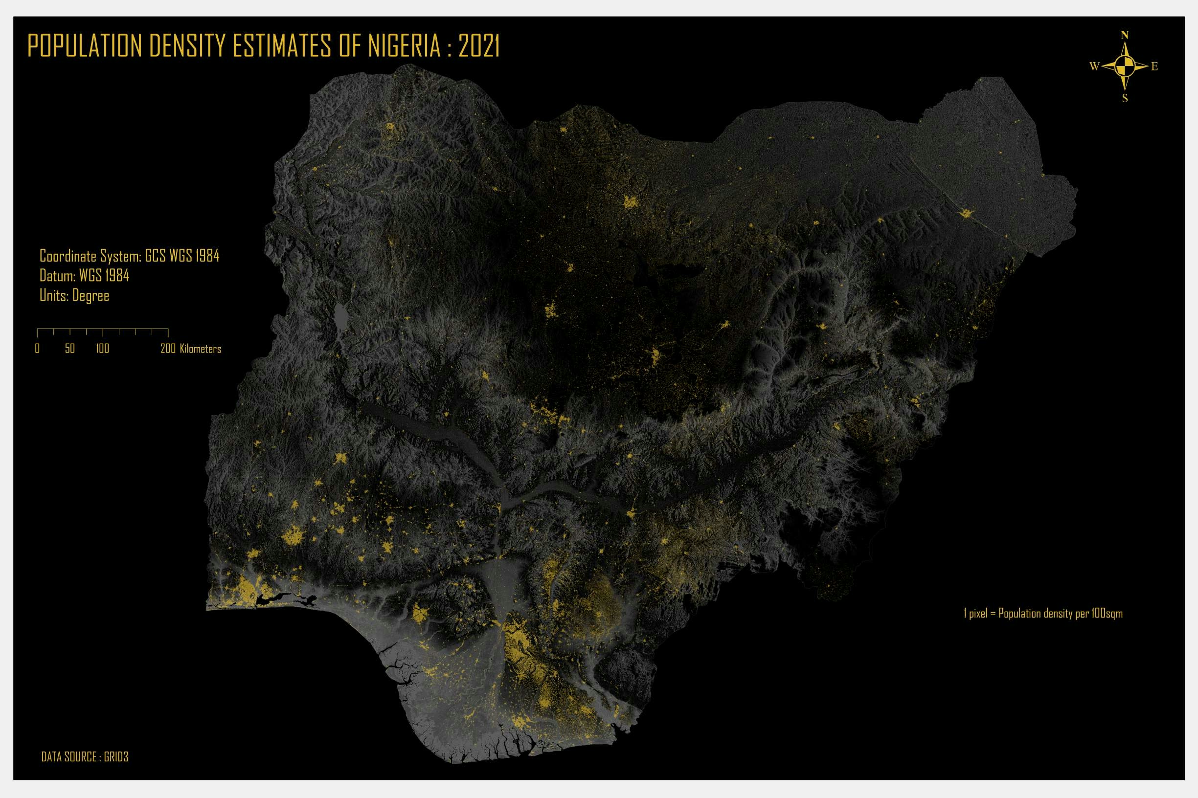
I got the population data from a reliable source online.
Compiled the data and imported into QGIS
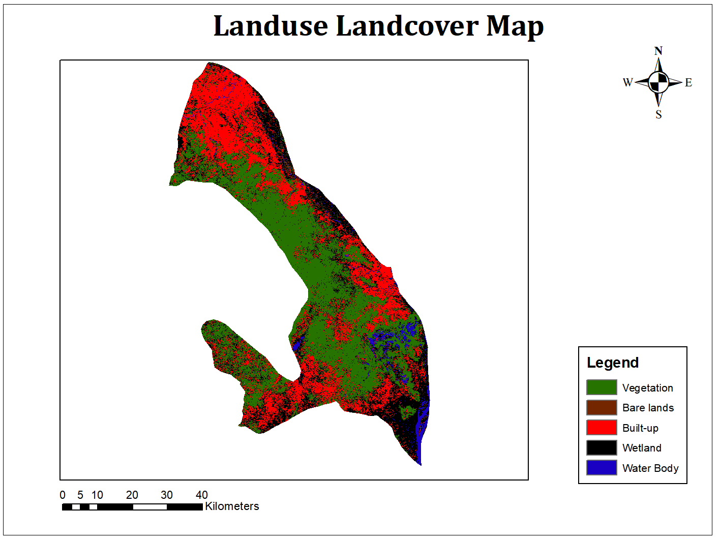
Edited the symbology based on graduated classes to signify the different ED by colours
I compiled all into a map.
The coordinate used is 'Irish Transverse Mercator'


.svg "Keran Nkongolo")