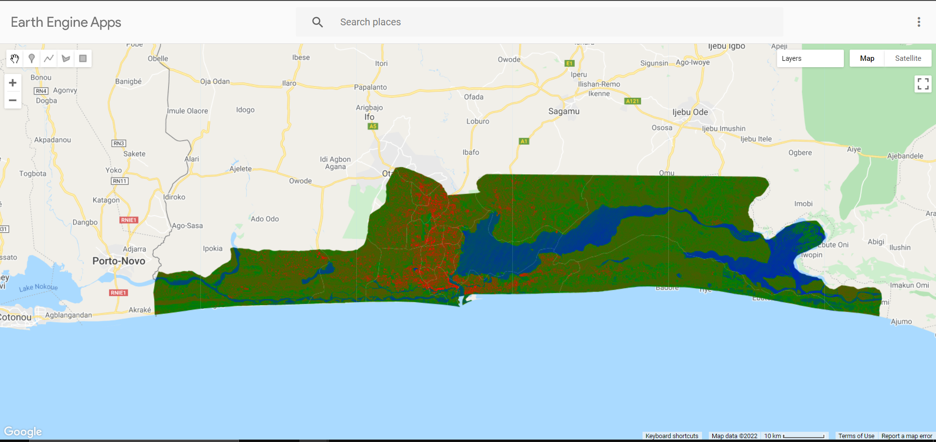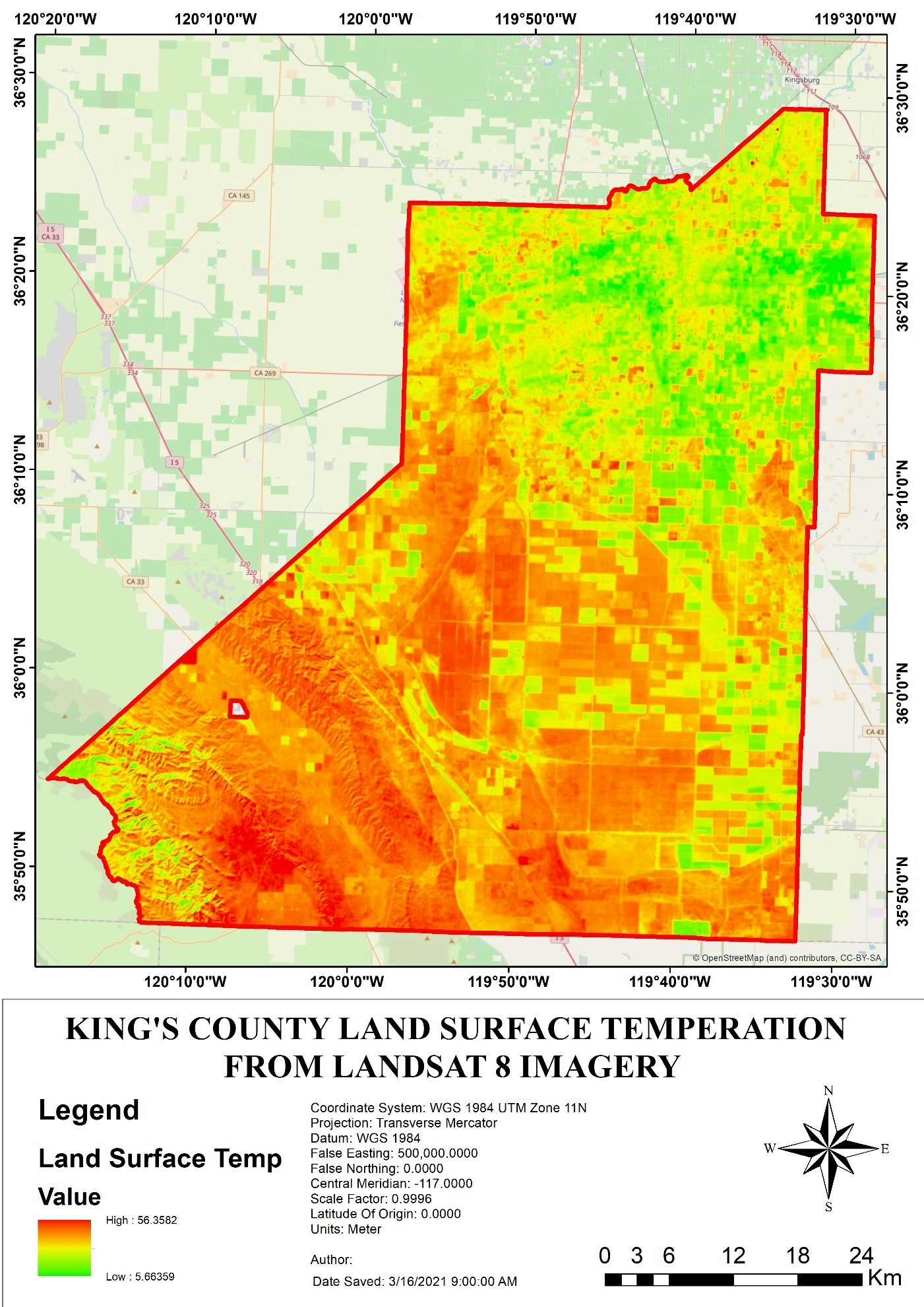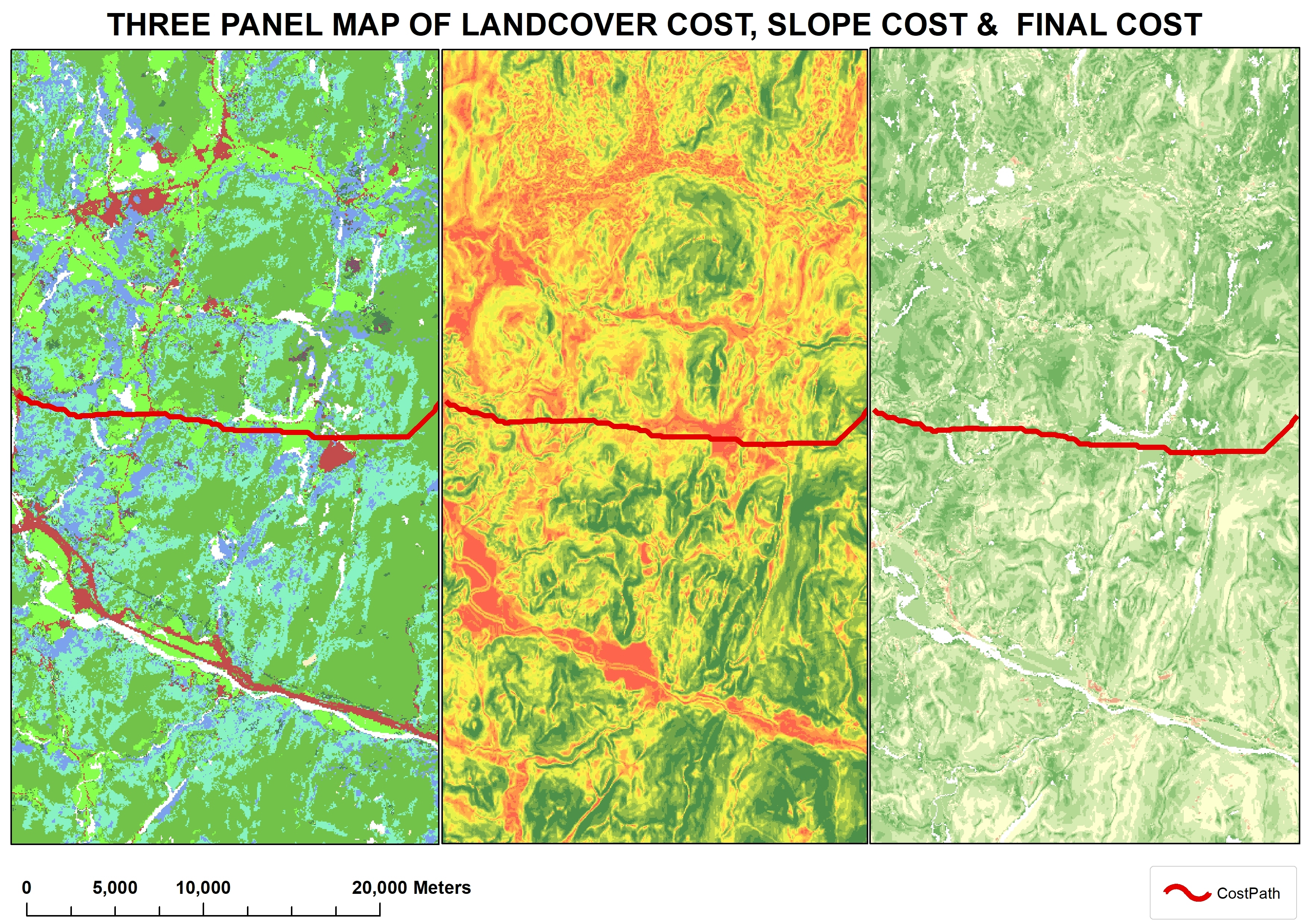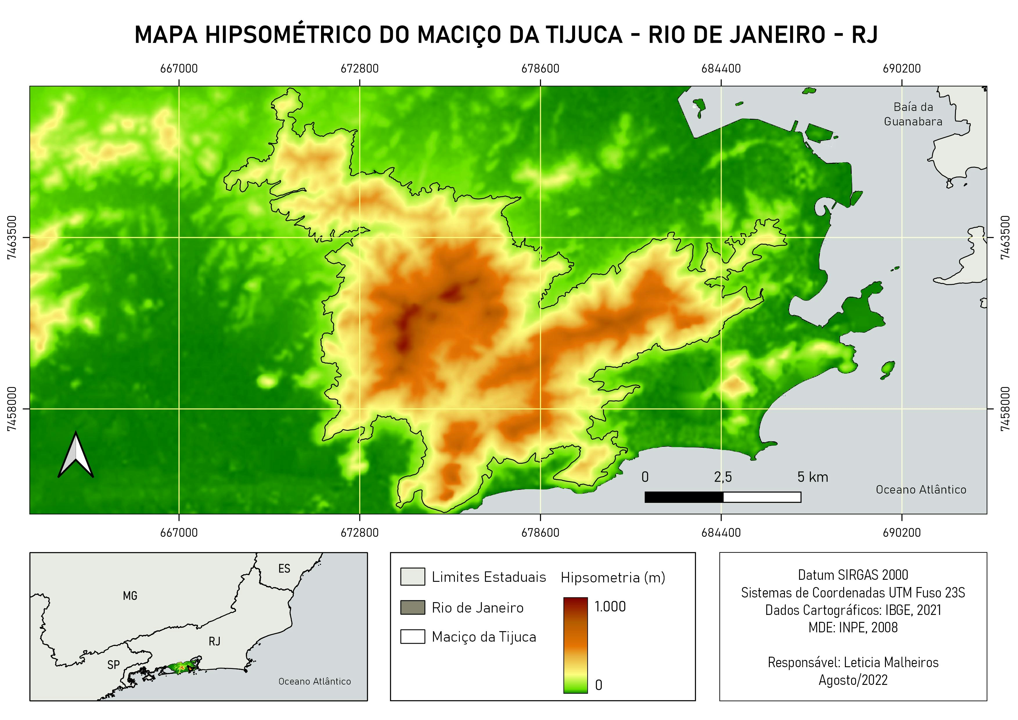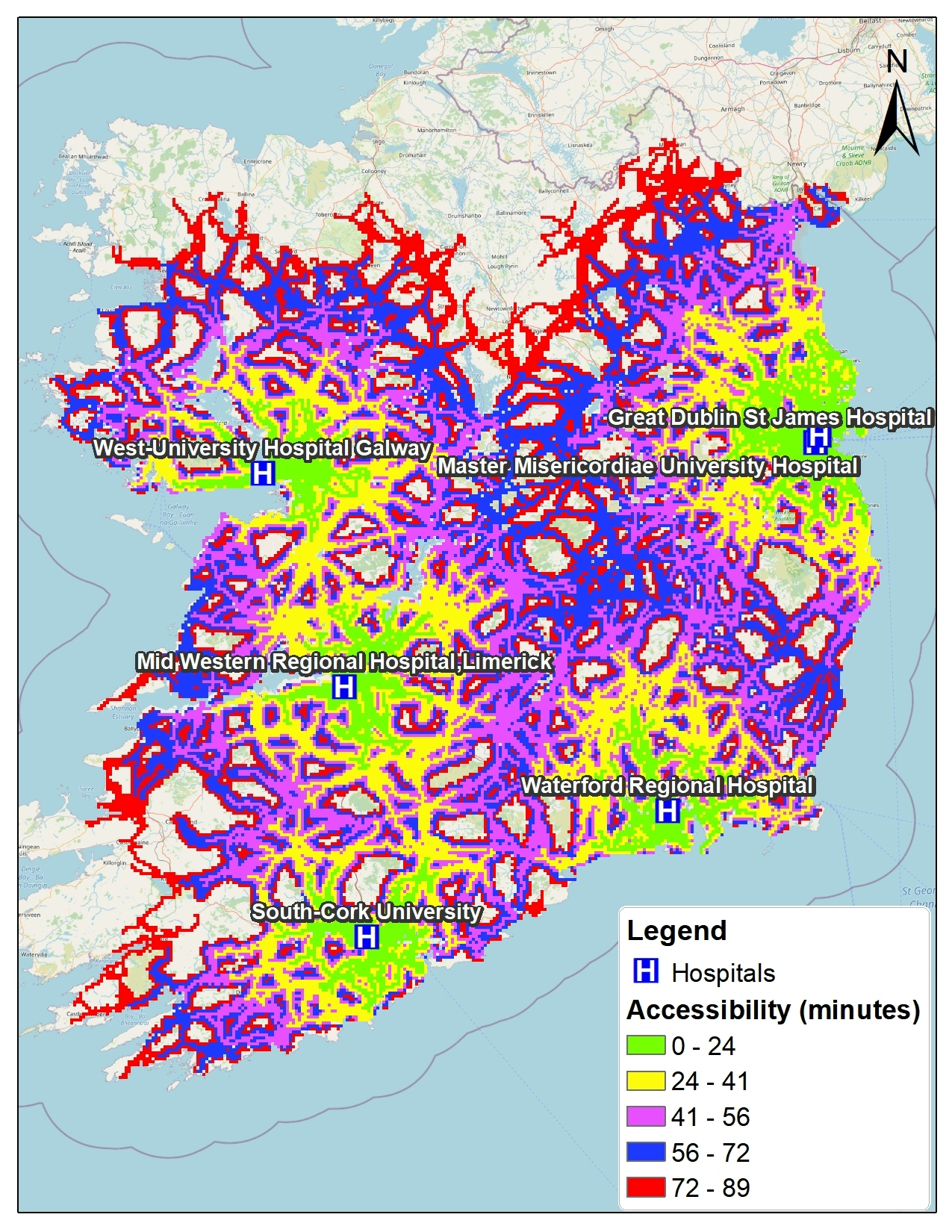
This is created using Accessmod, a WHO Geospatial software to create spatial solution to location problems affecting clinics and hospitals.
The map shows the distances of each area in the location to the nearest hospital. The input for create the map is the DEM, Landuse, Roads and maximum speed of each road and also barriers like water and etc.
Arcmap was used to style the final output