
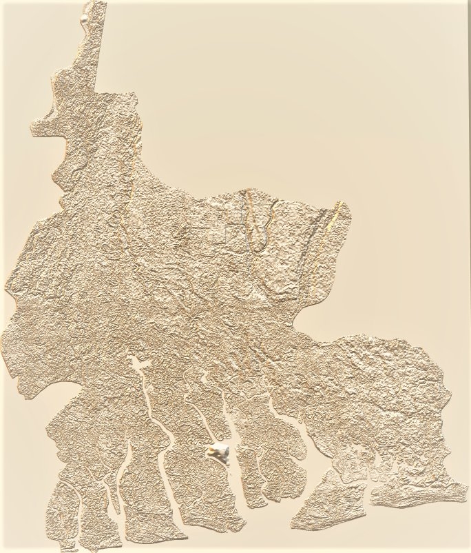
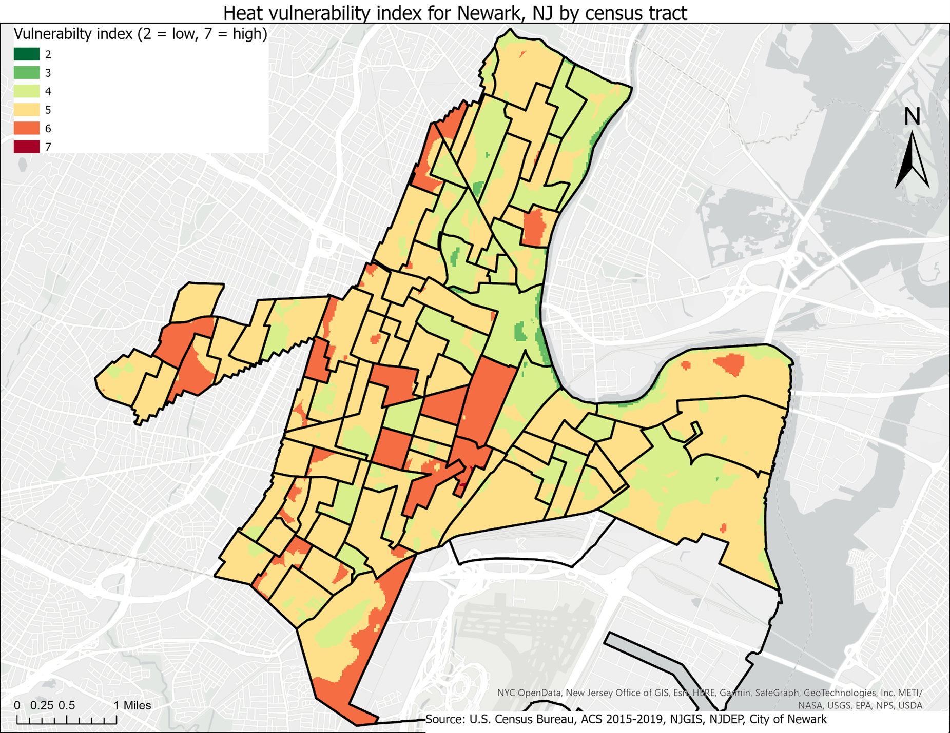
Elevation map overlay on hillshade
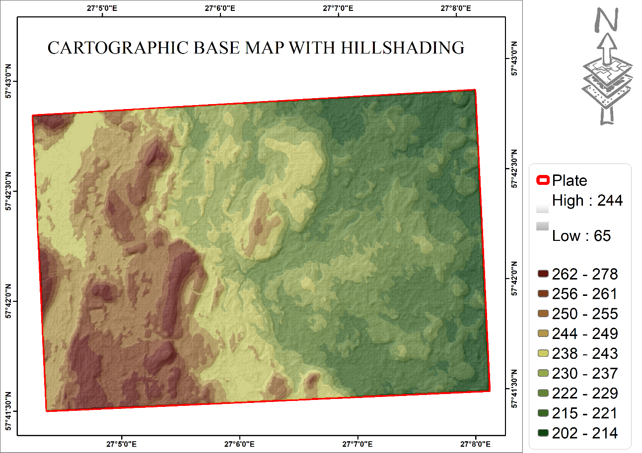
Cartographic basemap with hillshade
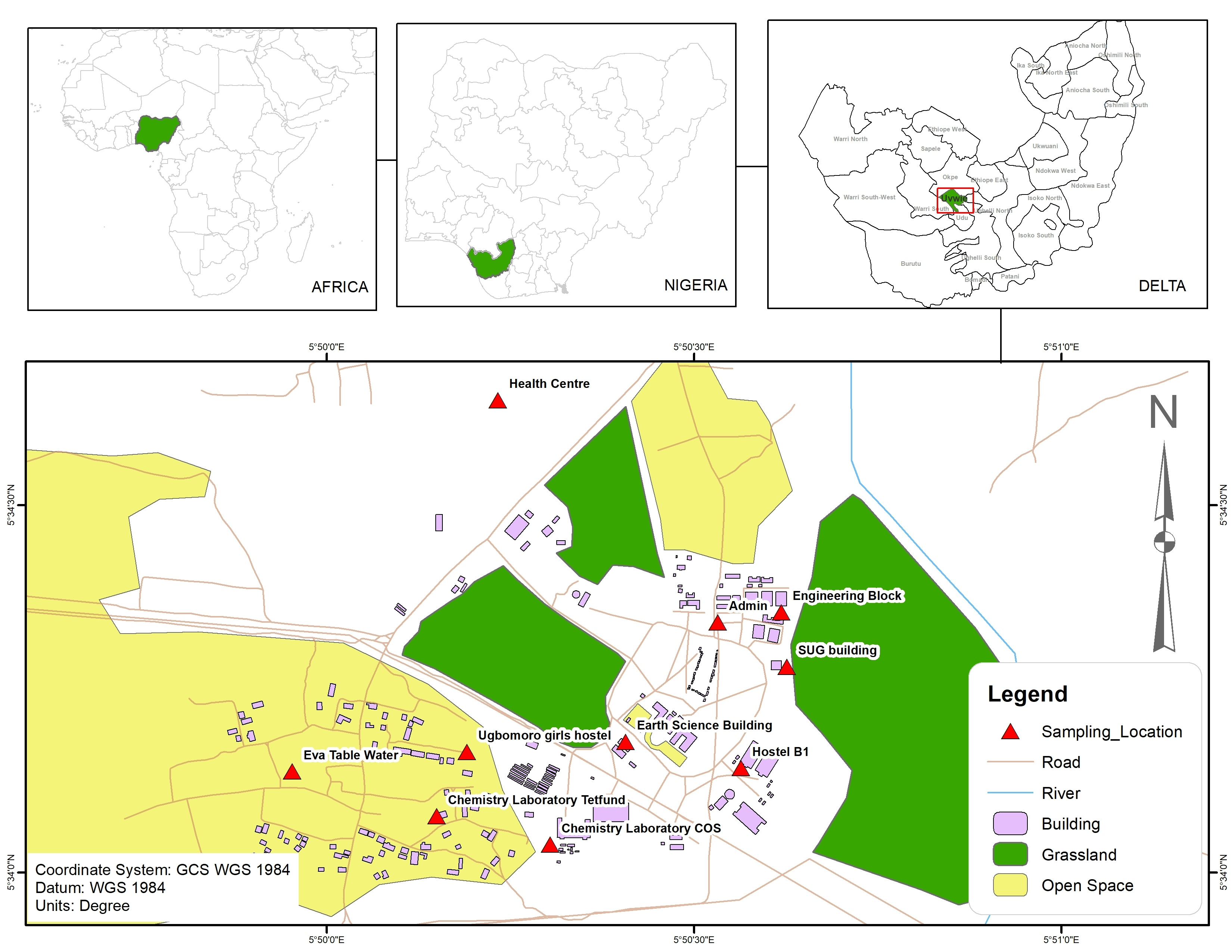
Tools used
ArcMap
Plug-ins used
ArcMap

You might also like


Join the community!
We're a place where geospatial professionals showcase their works and discover opportunities.
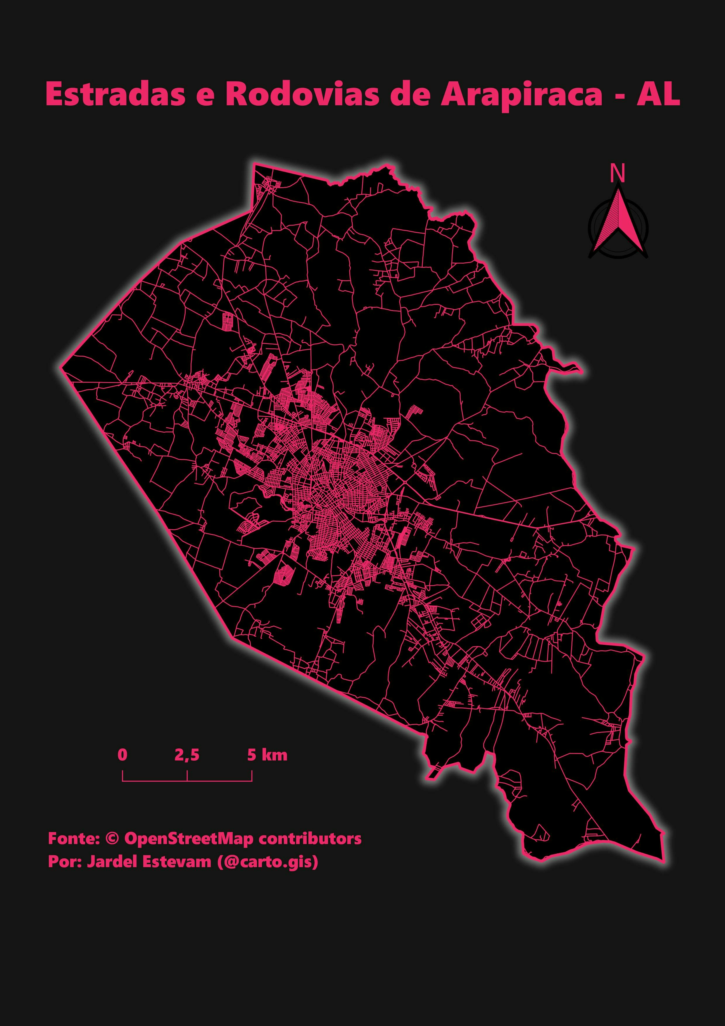
Cartographic basemap with hillshade
Elevation map overlay on hillshade
You might also like
We're a place where geospatial professionals showcase their works and discover opportunities.